Keywords
Cartography. Stereoscopy. Conceptualization.
How to Cite
MARTINS, José R. S. How to find the lower altitude of a region using a pair of aerial photography?. Terræ Didatica, Campinas, SP, v. 14, n. 4, p. 427–430, 2018. DOI: 10.20396/td.v14i4.8654192. Disponível em: https://periodicos.sbu.unicamp.br/ojs/index.php/td/article/view/8654192. Acesso em: 17 jul. 2024.
Abstract
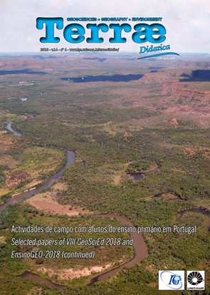
Nowadays, students live in a world full of images and feel the lack of practical and playful educational activities at school. Most school curricula do not provide teaching methods that allow students to understand images and reflect on their im-portance. This article aims to show that a question formulated by a student during a practical activity can act as a trigger to an important process of knowledge construction, the basis of which was a previous analytical study of the environment.References
Karnal L. 2016 Educar não é adestrar. In: O Estado de São Paulo, 21/08/2016, Cad. 2, pag. C9. URL: http://cultura.estadao.com.br/noticias/geral,edu car-nao-e-adestrar,_1000_0070788. Acesso 25.ago.2016.
Medina J. 2006. Fotogeología y detección remota. Enseñanza de las Ciencias de la Tierra, 14(1):62-67.
Rangel A. 2014. Edgar Morin. A educação não pode ignorar a curiosidade das crianças. URL: http://oglobo.globo.com/sociedade/educacao/educacao-360/a-educacao-nao-pode-ignorar-curiosidade-das-criancas-diz-edgar_morin13631748#ixzz4ED7 MaUG. Acesso 18.jul.2016.
A Terrae Didatica utiliza a licença do Creative Commons (CC), preservando assim, a integridade dos artigos em ambiente de acesso aberto.
Downloads
Download data is not yet available.
